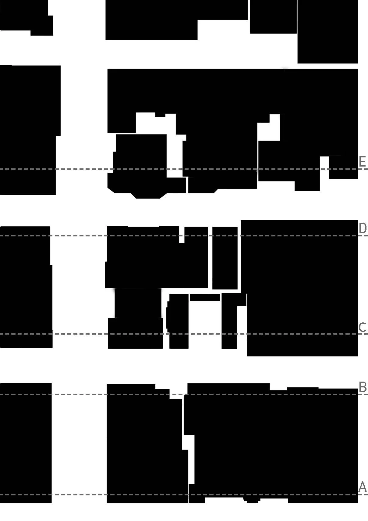
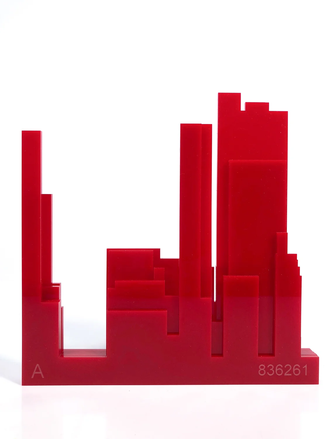
This urban study examines Paley Park located in New York City. A figure ground diagram was produced to understand the zones of buildings and traffic. Five laser cut sections through the site were produced to explore the heights of the spaces and understand the scale of zones. A 3D print model of the site was used to combine the previous investigations and provide an overall upstanding of the urban zones.